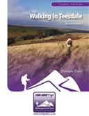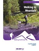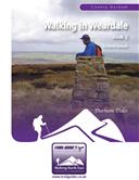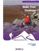
About the Guide
By Keven Shevels.
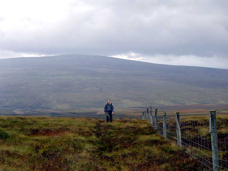
Teesdale, one of the most popular walking areas in the North East and extolled by Wainwright in his book on the Pennine Way for its "sylvan beauty". However there is another side to this picturesque dale and that is of the high moorland peaks that surround it.
As the river Tees makes its way down from its birthplace on the slopes of Cross Fell it passes eight distinct hills each soaring above the two thousand foot mark that qualifies them as a mountain. Totally different from the usual image of the Lakeland mountain, these are a ring of moorland summits clad in heather instead of rock. These hills may not have the height and the grandeur of the Lakes peaks but in their own way they can be just as challenging and rewarding to walk up.
You wouldn't find the crowds of peak-baggers on these hills, these are built for solitude and isolation. Here you will be unlucky if you come across another walker. Just yourself and the grouse and curlew, the hill walker's dream...
The Walks
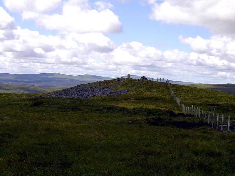
WALK 1: BINK MOSS
This is a true wild walk and on a day with good visibility there are some grand views over the remote uplands of upper Teesdale.
DISTANCE: 8.6 mile (13.8 km)
ASCENT: 1,250 feet (381 metres)
START: Small car parking space alongside the head of the road through Holwick. (GR NY 904 270.)
TERRAIN: Open fell with large sections of peat hags and gullies. The route does return to Holwick along a good quality vehicle track. There are a number of streams to be crossed on this route which in bad weather may present some difficulties.
FGS Grading F10 [ D1, N2, T3, R2, H2]
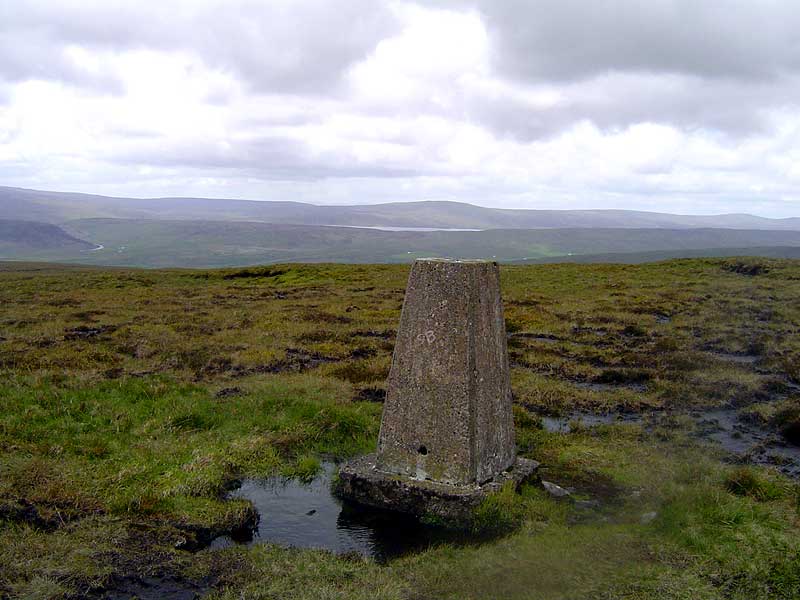
WALK 2: FENDRITH HILL
At 2,283 feet (696 metres), Fendrith Hill is not the smallest hill in Teesdale but of the high hills it is the only one that does not qualify as a HEWITT.
DISTANCE: 8.3 mile (13.3 km)
ASCENT: 1,480 feet (451 metres)
START: Hanging Shaw car park. (GR NY 867 298)
TERRAIN: Initially gravel track giving way to grass track before becoming a walk over pathless moor. The route finishes with a short road section leading back on to the initial gravel track.
FGS Grading F9 [ D1, N2, T2, R2, H2]
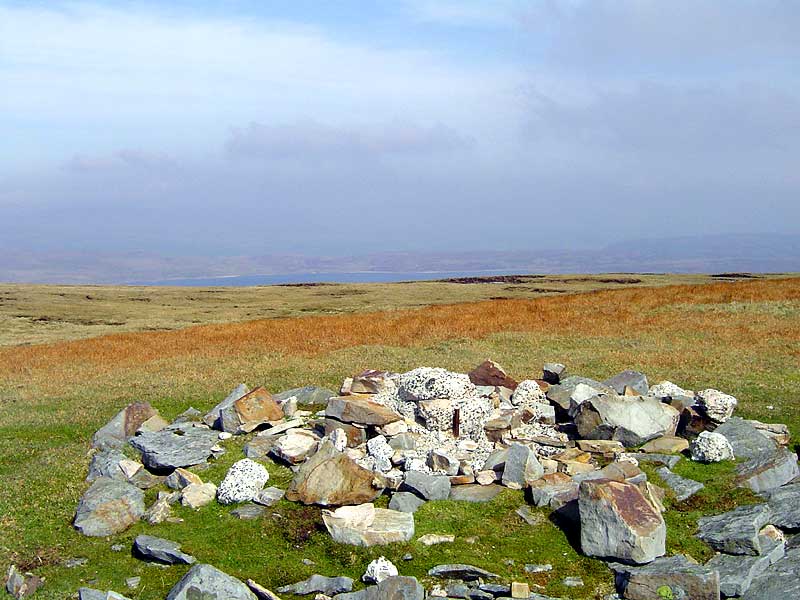
WALK 3: JAMES HILL
The most easterly of the big hills of Teesdale and one that is well worth the visit if not for the summit then to view the 4,000 year old site lying on the flanks of this hill.
DISTANCE: 7.2 miles (11.5 km)
ASCENT: 1,493 feet (455 metres)
START: Bowlees Car Park (GR NY 908 283 ).
TERRAIN: Woodland and field path followed by open moorland. The moorland section follows a rough quad bike track over open boggy ground with a section over pathless grassy tussocks.
FGS Grading F9 [ D1, N2, T2, R2, H2]
WALK 4: MELDON HILL
Meldon Hill dominates the skyline above the Cow Green reservoir, the large whale-back looming large over the waters opposite the car park.
DISTANCE: 14.3 mile (22.8 km)
ASCENT: 1,765 feet (538 metres)
START: Cow Green reservoir car park. (GR NY 811 309).
TERRAIN: The first and last mile and a half is on tarmac road leading down to the base of Cow Green dam. From there the Pennine Way is followed across the watershed to High Cup. The return leg up and over Meldon is across pathless open fell-side including peat hags and gullies.
FGS Grading F10 [ D2, N2, T2, R3, H2]
WALK 5: VIEWING HILL
The hardest summit to find of all the hills in this book. The summit in question is a wide plateau covered in bog and peat hags, which makes it very difficult to tell which part is the highest point.
DISTANCE: 7.6 mile (12.2 km)
ASCENT: 1,237 feet (377 metres)
START: There is a small parking space next to the phone box where the road to Harwood descends from the B6277. If occupied there is a larger layby 100 metres further back towards Langdon Beck. (GR NY 827 332).
TERRAIN: The first half of the route along the Harwood valley floor and up Spitley Tongue is all tarmac road and track. From the roadside of the B6277 the route crosses open fell-side complete with peat hags and gullies and is quite rough going.
FGS Grading F8 [ D1, N2, T1, R2, H2]
WALK 6: THREE PIKES AND GREAT STONY HILL
A walk that crests two of the Teesdale hills, the only one in the book that does so.
DISTANCE: 8.9 mile (14.3 km)
ASCENT: 1,457 feet (444 metres)
START: Road-side parking space alongside the Langden Beck to St John's Chapel road. (GR NY 850 330.)
TERRAIN: In the main open fell including peat hags and gullies. The second half of the route does involve some road and track walking.
FGS Grading F9 [ D1, N2, T2, R2, H2]
WALK 7: BURNHOPE SEAT
An out and back walk that visits this summit which for centuries was the highest point in the old traditional County Durham.
DISTANCE: 11.5 mile (18.4 km)
ASCENT: 971 feet (296 metres)
START: Cow Green reservoir car park. (GR NY 811 309.)
TERRAIN: Old miner's track leading to a road crossing. From the crossing the route covers open fell-side complete with peat hags and gullies. Very rough going.
FGS Grading F6 [ D1, N2, T1, R2, H0]
WALK 8: MICKLE FELL
Mickle Fell, the forbidden summit that is hidden behind danger signs but which also happens to be the highest point in County Durham.
DISTANCE: 11.5 mile (18.4 km)
ASCENT: 1,647 feet (502 metres)
START: Cow Green reservoir car park. (GR NY 811 309.)
TERRAIN: The first and last mile and a half is on tarmac road leading down to the base of the Cow Green dam. The Pennine Way is then followed for just over a mile before striking-off over open fell to reach the summit of Mickle Fell. This route does involve the crossing of Maize Beck which during and shortly after bad weather does have the potential to be hazardous.
FGS Grading F9 [ D1, N2, T2, R2, H2]