About the Guide
By Lynne Shevels.
The second edition of this popular book is now available. With a revised layout and even more photos to help guide the walker this publication has now been expanded to 104 pages.
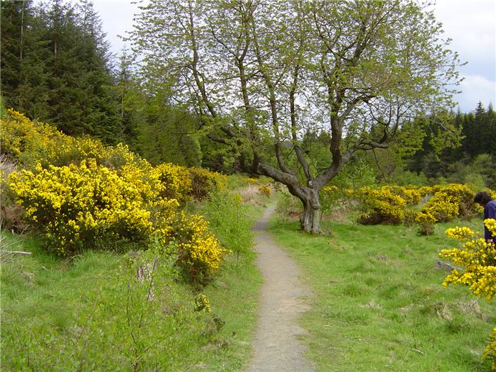
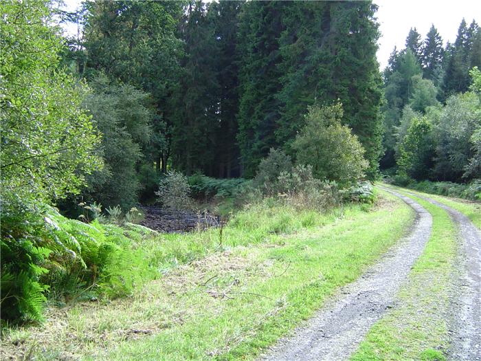
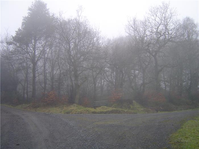
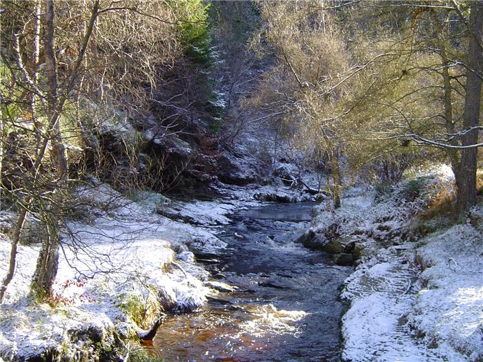
Hamsterley Forest, the largest wooded area in County Durham. Lying betwen the Wear and Tees valleys on the edge of the North Pennines Area of Outstanding Natural Beauty, this forest has 2,000 hectares of mixed broadleaf and coniferous woodland.
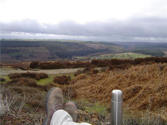
There are walks along traffic-free forest roads, soft pine needle covered paths among the trees and strenuous moorland trails. From "mild to wild" the forest has something for everybody. These routes both in and around the forest will enable every walker to experience the natural wonder and joys that this area holds.
The Walks
WALK 1: CABIN HILL
This is a short four mile walk that explores the open moor on Cabin Hill above the forest.
DISTANCE: 4 miles
ASCENT: 492 feet
START: Hamsterley Forest Visitor Centre (GR 092313)
TERRAIN: Moorland and forest track and path
FGS Grading T2 [ D0, N0, T0, R1, H1]
WALK 2: OAK BANK
This short walk visits one of the smaller, less-visited ones. Although not deep into the far-flung reaches of the forest, this walk is surprisingly quite peaceful and quiet.
- DISTANCE: 4.2 miles
- ASCENT: 499 feet
- START: Grove car park, Hamsterley Forest (GR 067 299)
- TERRAIN: Forest track.
- FGS Grading T2 [ D0, N0, T0, R1, H1]
WALK 3: KING'S CRAG
This walk takes a high-level route above the crag and the Euden valley before returning along the valley floor.
DISTANCE: 6.5 miles
ASCENT: 686 feet
START: Grove car park, Hamsterley Forest (GR 067 299)
TERRAIN: Forest track.
FGS Grading T3 [ D1, N0, T0, R1, H1]
WALK 4: THE HIGH ROAD
If you go walking in Hamsterley then at some point you'll want to visit the highest point in the forest. This is a shorter walk that approaches the hill from a different direction.
DISTANCE: 5.3 miles
ASCENT: 738 feet
START: Blackling Hole car park, Hamsterley Forest (GR 053 275)
TERRAIN: Forest track
FGS Grading T3 [ D0, N0, T0, R1, H2]
WALK 5: REDGATE SHIELD FORGE
Hard to picture Hamsterley as a site of industrial activity but in days past there used to be a number of sites where iron working was carried out. This walk passes next to the remains of one of these sites and adds a little bit of interest to an already scenic walk.
DISTANCE: 5.3 miles
ASCENT: 873 feet
START: Grove car park, Hamsterley Forest (GR 067 299)
TERRAIN: Mostly forest track although there is a short distance on a steep zig-zag forest path. This walk contains a stream crossing, in times of wet weather when water levels will be high do not attempt this route.
FGS Grading T3 [ D0, N0, T0, R1, H2]
WALK 6: FIVE LANE ENDS
An interesting walk that has a number of contrasts and colours.
DISTANCE: 8 miles ASCENT: 1,024 feet
START: Blackling Hole car park, Hamsterley Forest (GR 053 275)
TERRAIN: Forest track.
FGS Grading T4 [ D1, N0, T0, R1, H2]
WALK 7: BEDBURN VALLEY
This route follows the Bedburn Beck downstream from the forest through open fields, small woods and a caravan park. Yes, a caravan park !
DISTANCE: 6.9 miles
ASCENT: 804 feet
START: Hamsterley Forest Visitor Centre car park (GR 094 312)
TERRAIN: Mixed. Field path, farm track and forest track.
FGS Grading T4 [ D1, N1, T0, R1, H1]
WALK 8: NEIGHBOUR MOOR HEAD
This is the highest area of the forest and views are all around. If any part of the forest gives the impression of wilderness then this is it.
DISTANCE: 8.9 miles
ASCENT: 1,070 feet
START: Grove car park, Hamsterley Forest (GR 067 299)
TERRAIN: Forest track.
FGS Grading T3 [ D1, N0, T0, R1, H1]
WALK 9: PIKESTONE FELL
This walk is an out and out fell walk, leaving the forest and following rough paths up and over the moors. You will encounter boggy ground, stream crossings and a little bit of heather bashing. Be prepared.
DISTANCE: 8.75 miles
ASCENT: 1,378 feet
START: Grove car park, Hamsterley Forest. (GR 067 299)
TERRAIN: Mixed. Forest track and moorland track and path. A relatively hard moorland walk with a couple of stream crossings. Paths on the moor may at times be quite indistinct and difficult to see.
FGS Grading F8 [ D1, N1, T2, R2, H2]